Scroll
telephone
EN
DE IT
Closure at 30.09.23
icon

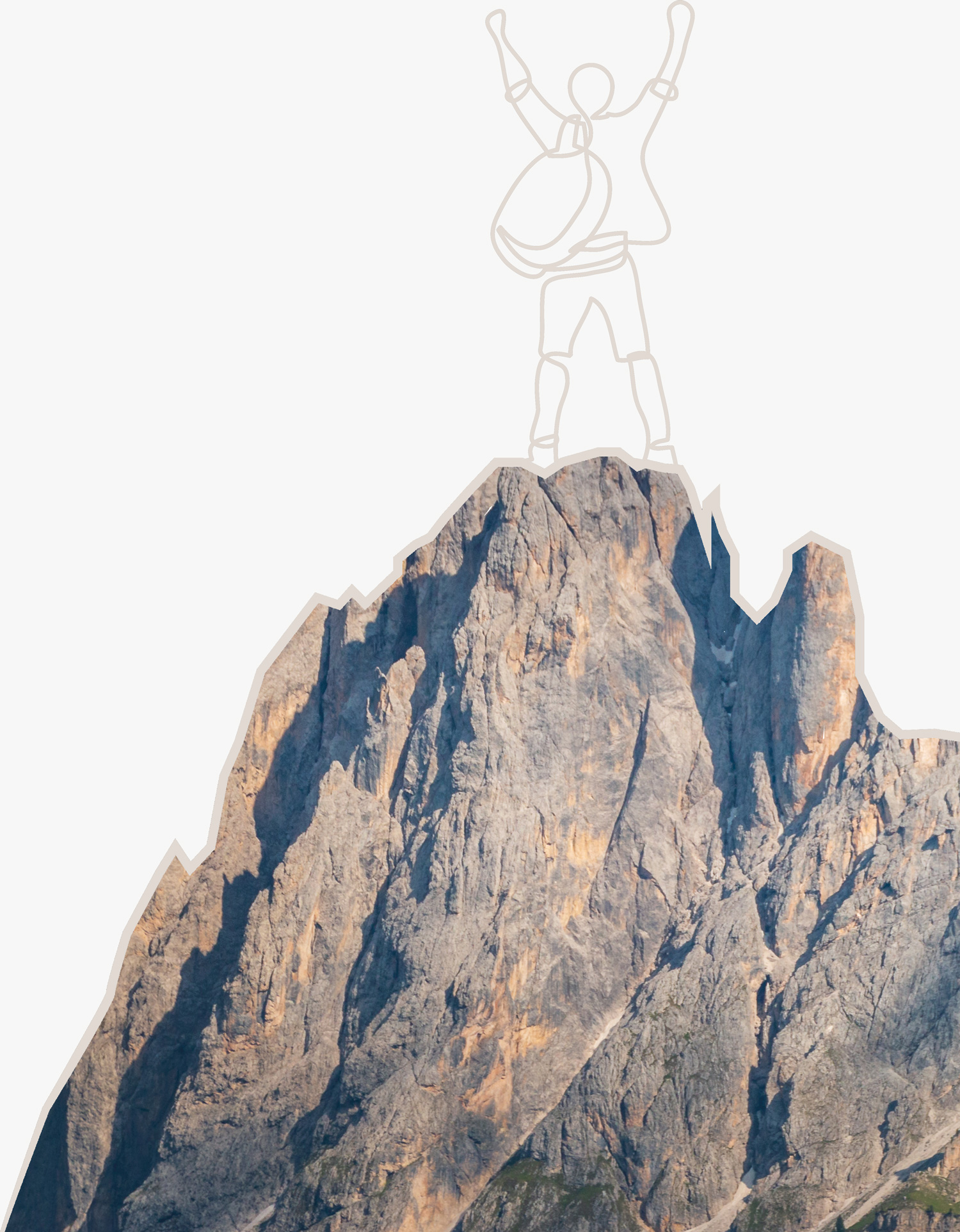
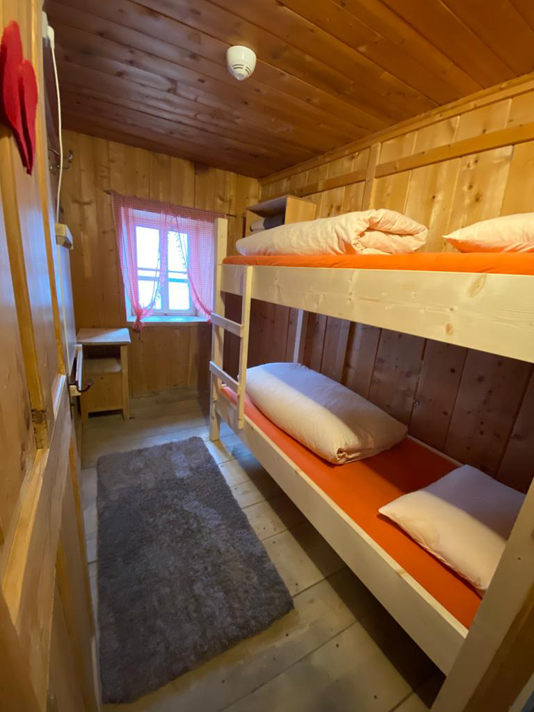
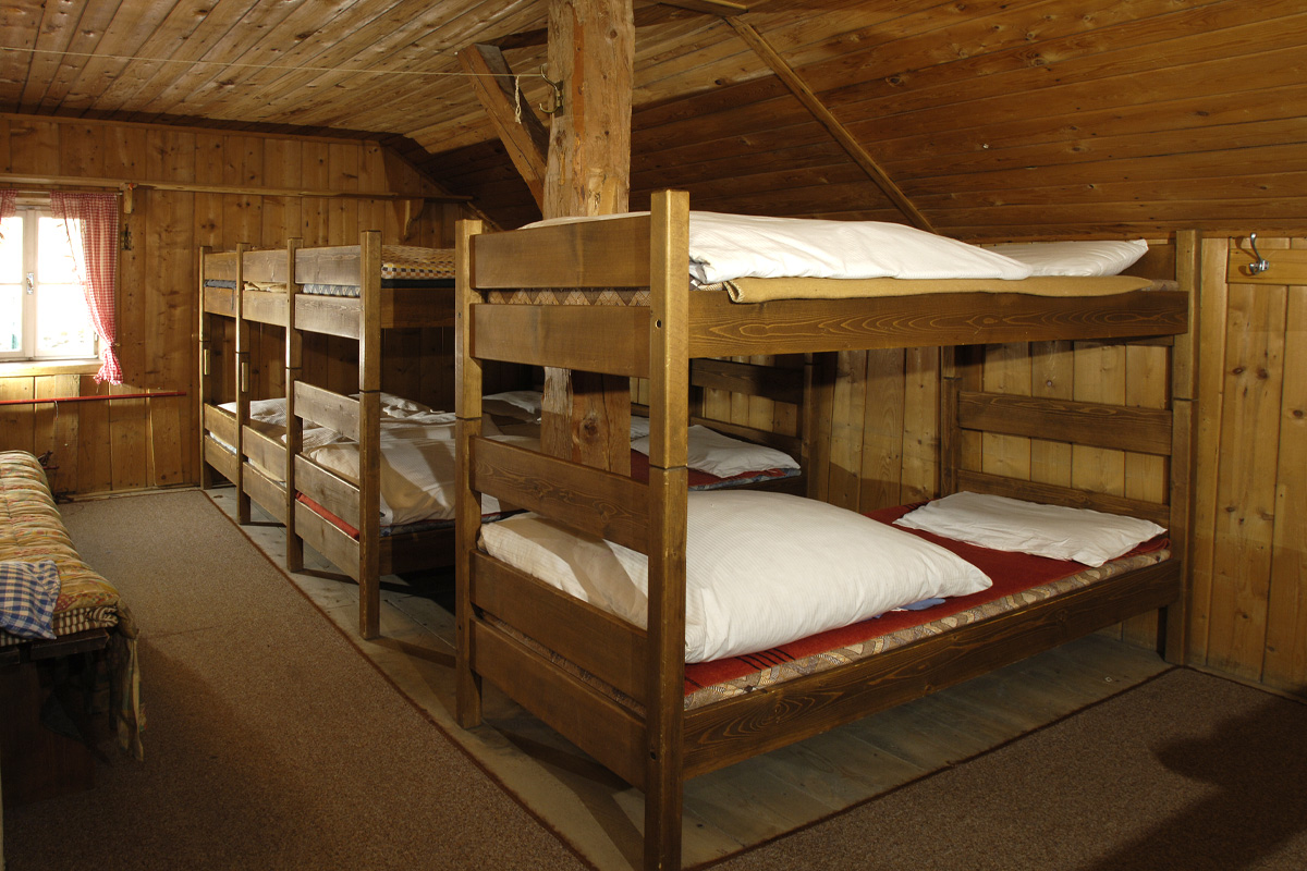
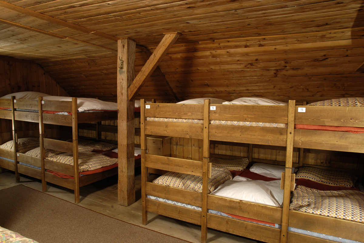
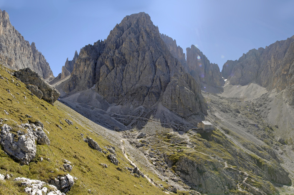
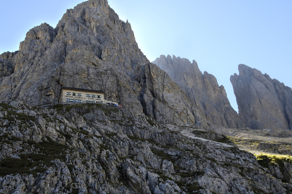
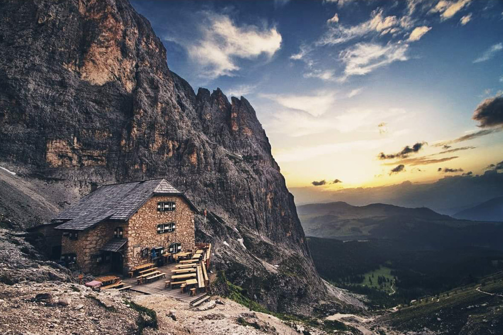
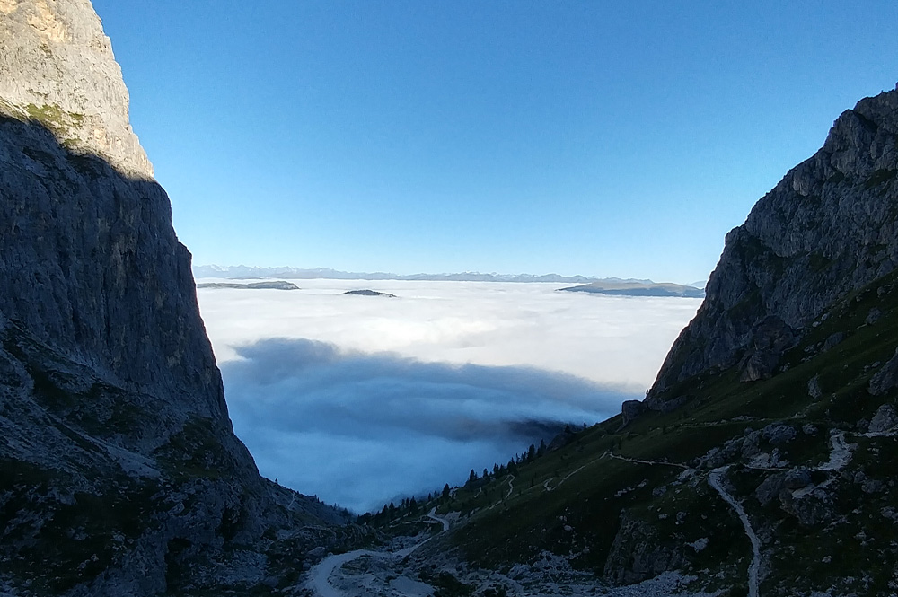
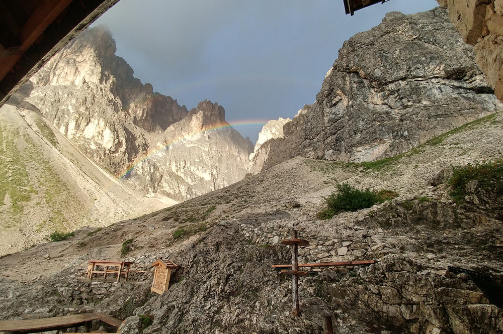
Refuge in the heart of the Sassolungo Group

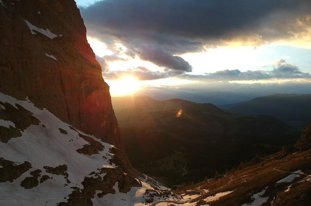
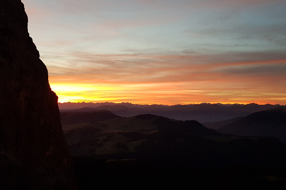
The Rifugio Vicenza is surrounded by a majestic mountainscape with a breathtaking view. Ideal starting point for hikes in the Dolomites.

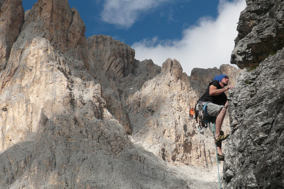
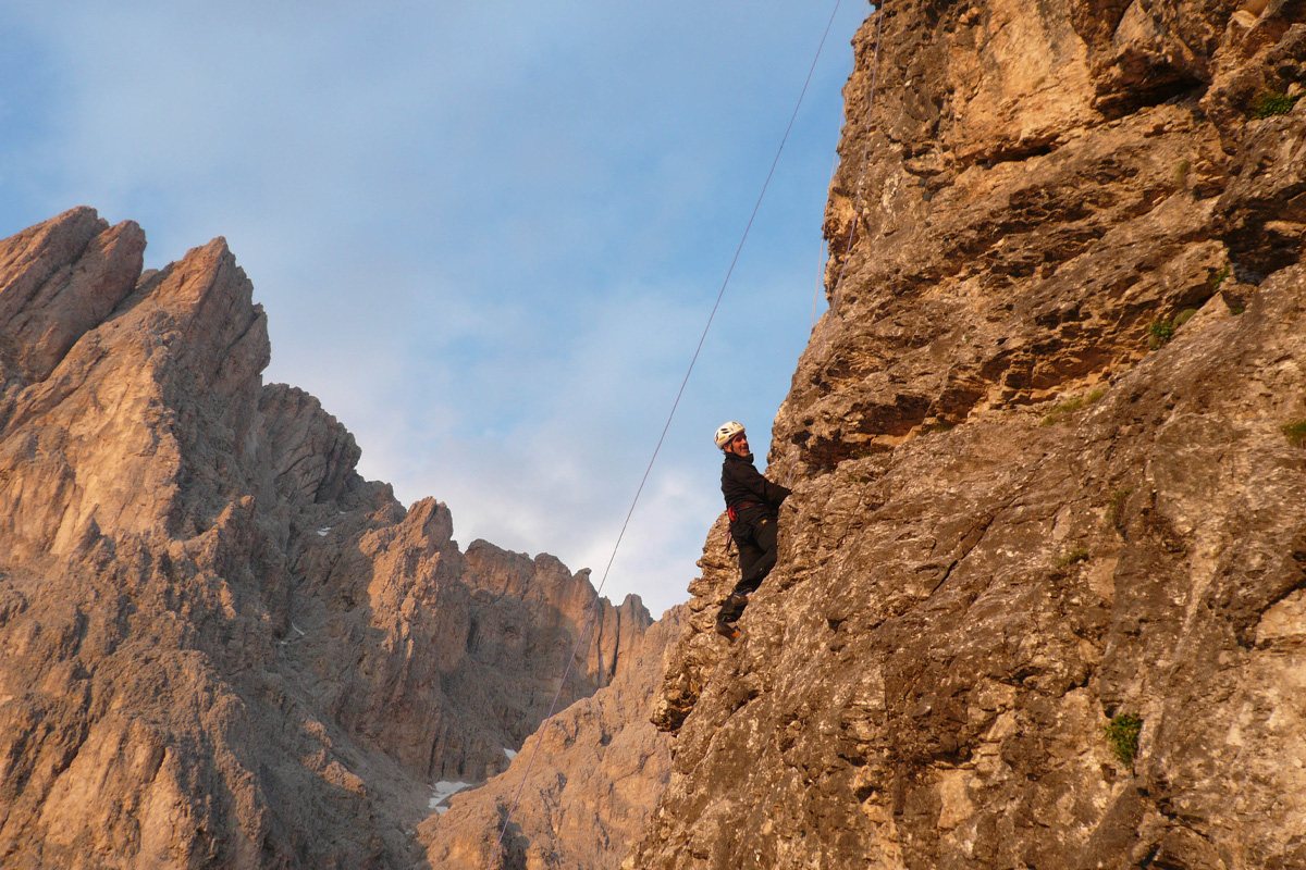
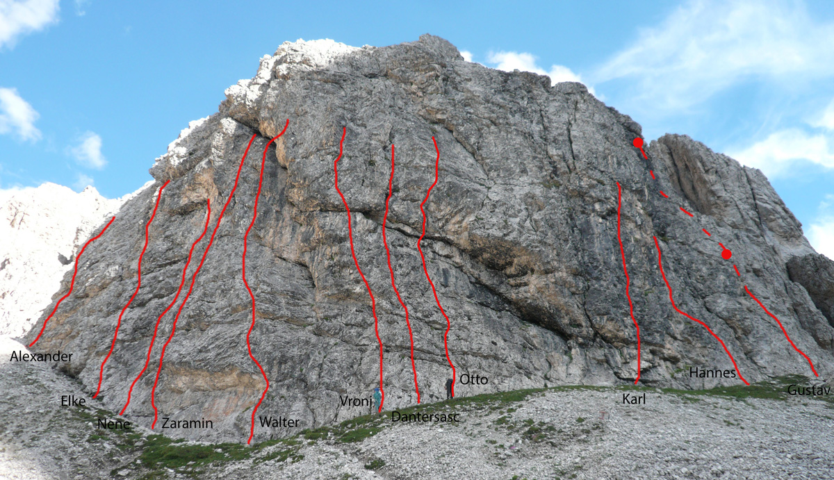
The ideal position for mountain friends, the best point to start for easy as well difficult hiking or climbing tours as for exemple the point the Oscar Schuster route to the top of the "Sassopiatto" (m. 3083) or the normal climbing route to the "Sassolungo" (m. 3183). There are also, easy to reach, many climbing routes stating from the 3th till to the 6th scale of difficulty.

To request: E-mail - info@rifugiovicenza.com or info@langkofelhuette.com

bg
bg
icon
BEDS
ROOMS
arrow
MULTI-BED
arrow
icon
RESTAURANT
bg

The Vicenza hut offers typical and delicious dishes for the guests.

icon
LOCATION

Base locations: Passo Sella, base station of the cable car, 2183 m. - Campitello, 1414 m. Val di Fassa
| Monte Pana at 1,636 m, where there is a hotel, parking accessible from Santa Cristina (St. Christina) about 2.5 km down the road and also chair lift.

Start:Passo Sella, base station of the cable car, 2183 m. - Mountain station of the cable car Col Rodella, 2395 m. - base station, 1411 m. a S-E from the centre of Campitello

ParkingParking of Passo Sella - Parking on the base station of the cable car of Col Rodella.

Go to map
map
bg
icon
CLIMBING
climb
climber
climber

In the 1960s, the mountain face above the Rifugio Vicenza was used by some climbers as a training wall for mountain climbing. In fact, some old pitons were found during nailing. In the summer of 2013 the work of pitoning began by the mountain guide Veronika Schrott with the help of the hut host Walter Piazza and his two sons Alexander and Hannes.

The climbing wall above the Rifugio Vicenza is located 30 m from the hut with a north-west exposure.

Images
pfeil
icon
EXCURSIONS
ROUTES TO THE "RIFUGIO VICENZA" (to get to the hut)
pdf download
Description Level Hours
Monte Pana (1636 M.) - Pian di Confì -525- Rif. Vicenza al Sassolungo / Langkofelhütte easy 3h
Mont de Sëura (2021 M.) -526- Forcella Ciaulong Sattel (M. 2113) -526- Rif. Vicenza al Sassolungo / Langkofelhütte easy 1.15h
Passo Sella / Sellajoch (2180 M.) -526- Rif. Comici al Piz Sella / Comicihütte (2153 M.) -526A- Forcella Ciaulong Sattel (M. 2113) -526- Rif. Vicenza al Sassolungo / Langkofelhütte easy 2h
Passo Sella / Sellajoch (2180 M.) - Forcella del Sassolungo - Rifugio Demetz Toni alla Forcella del Sassolungo / Demetzhütte (2681 M.) -525- Rif. Vicenza al Sassolungo / Langkofelhütte medium 1.30h
Rifugio Demetz Toni alla Forcella del Sassolungo / Demetzhütte (2681 M.) -525- Rif. Vicenza al Sassolungo / Langkofelhütte medium 0.40h
Rifugio Sassopiatto / Plattkofelhütte -9 -527- Rif. Vicenza al Sassolungo / Langkofelhütte easy 1.30h
ROUTES FROM THE "RIFUGIO VICENZA" (starting from the hut)
pdf download
Description Level Hours
Rifugio Vicenza al Sassolungo / Langkofelhütte -525- Rif. Toni Demetz alla Forcella del Sassolungo / Demetzhütte (2681 M.) medium 1.20h
Rifugio Vicenza al Sassolungo / Langkofelhütte -527- -9- Rif. Sassopiatto / Plattkofelhütte (2300 M.) easy 1.30h
Rifugio Vicenza al Sassolungo / Langkofelhütte -526- Forcella Ciaulong Sattel (2113 M.) -526- Rif. Còmici al Piz Sella / Comicihütte (2153 M.) easy 1.45h
Rifugio Vicenza al Sassolungo / Langkofelhütte -526- Forcella Ciaulong Sattel (2113 M.) -526- Rif. Còmici al Piz Sella / Comicihütte (2153 M.) -526- Rif. Passo Sella / Sellajoch (2180 M.) easy -
Rifugio Vicenza al Sassolungo / Langkofelhütte -s.n.- Via Oskar Schuster -s.n.- Sassopiatto / Plattkofel (M. 2958) hard 2.30h
Rifugio Vicenza al Sassolungo / Langkofelhütte -s.n.- Via Oskar Schuster -s.n.- Sassopiatto / Plattkofel (M. 2958) - Rif. Sassopiatto / Plattkofelhütte (2300 M.) hard 3.30h
icon
TAXI
taxi

Do you need a taxi to the hut or to the airport? With us you can book a transfer directly, we offer a punctual and reliable service.